World heritage

Four points on the Struve Geodetic Arc

The Struve Geodetic Arc was the first large-scale scientific survey to be undertaken in Europe. The survey was carried out between 1816 and 1852 by Friedrich Georg Wilhelm Struve. The geodetic arc is outstanding in terms of its scope and quality and represents an important part of geoscience history.

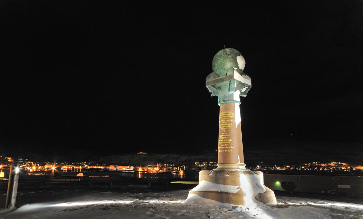
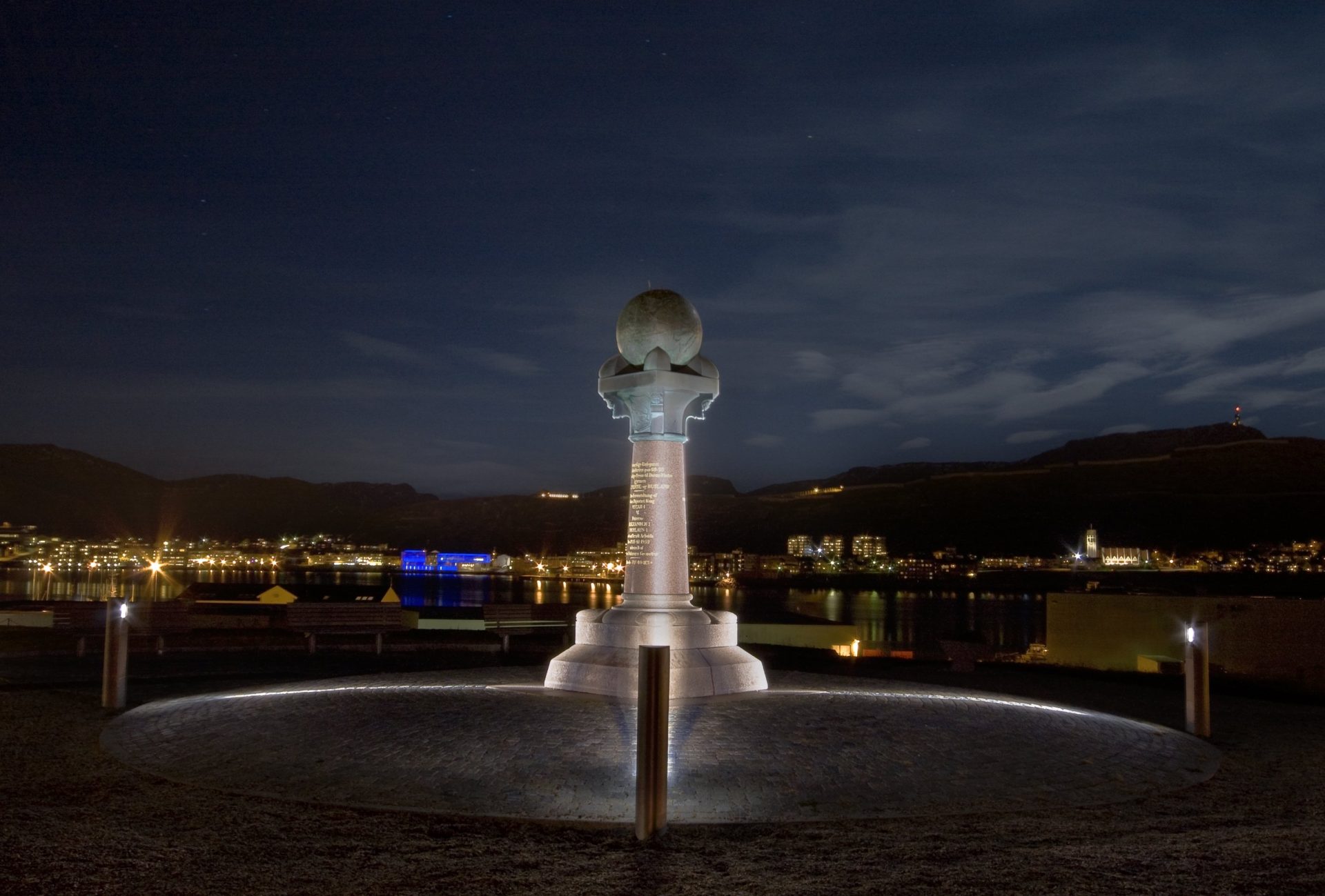
Photo of the Struve Geodetic Arc at night. The monument in Hammerfest marks the northernmost mainland point on the Struve Geodetic Arc. Photo: Zenisk
Struve at night. The monument in Hammerfest marks the northernmost mainland point on the Struve Geodetic Arc. Foto: Zenisk

The geodetic arc

The geodetic arc was surveyed using a triangulation chain stretching from the Black Sea to Hammerfest in Norway. Four of the points on the chain are located in the Finnmark region. The chain covers ten countries: Norway, Sweden, Finland, Russia, Estonia, Latvia, Lithuania, Belarus, Moldova and the Ukraine.

The Struve survey stood for more than 100 years, until technological developments enabled astronomical and satellite-based precision measurements.

The Struve Geodetic Arc was the first technical/scientific cultural monument to be inscribed on the UNESCO World Heritage List. It was also the first transnational inscription to cover more than two countries.

The Struve Geodetic Arc was inscribed on UNESCO’s World Heritage List in 2005.
Explore the Hammerfest triangulation point

See photos of the Struve Geodetic Arc

The photo shows the Survey point on the Struve Geodetic Arc in Fuglenes. Four of the survey points on the Struve Geodetic Arc, inscribed on UNESCO’s World Heritage List in 2005, are located in the Finnmark region. The photo shows the survey point at Fuglenes in Hammerfest, erected in 1854. Photo: Mittet, the Directorate for Cultural Heritage
Survey point on the Struve Geodetic Arc in Fuglenes. Four of the survey points on the Struve Geodetic Arc, inscribed on UNESCO’s World Heritage List in 2005, are located in the Finnmark region. The photo shows the survey point at Fuglenes in Hammerfest, erected in 1854.
Foto: Mittet, the Directorate for Cultural Heritage
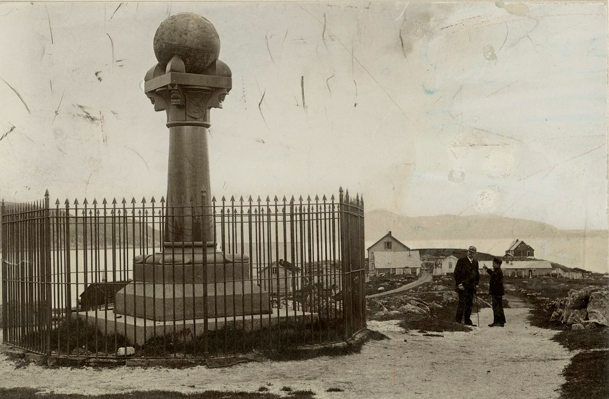
The Struve Geodetic Arc. The monument outside Hammerfest was erected in 1854. The surrounding enclosure was built a few years later. Photo: The archives of the Directorate for Cultural Heritage.
The Struve Geodetic Arc. The monument outside Hammerfest was erected in 1854. The surrounding enclosure was built a few years later.
Foto: The archives of the Directorate for Cultural Heritage.
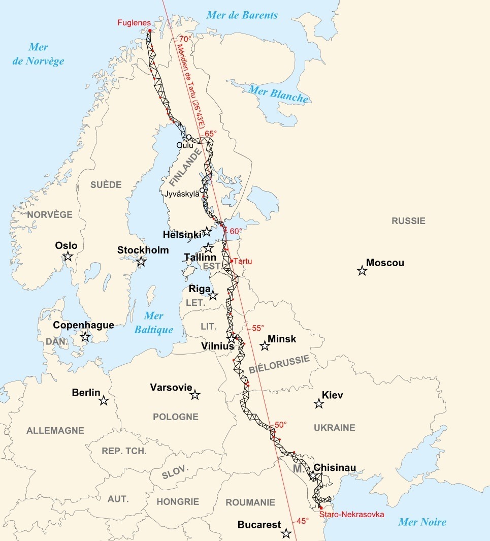
The picture shows a map of the Struve Geodetic Arc. The 34 red dots on the map indicate the World Heritage sites. Illustrated by Historicair (CC-BY-SA) via Wikimedia Commons
Map of the Struve Geodetic Arc. The 34 red dots on the map indicate the World Heritage sites.
Foto: Illustration by Historicair (CC-BY-SA) via Wikimedia Commons

Publisert: 17. February 2020 | Endret: 8. December 2020